
Shaldon topographic map
Interactive map
Click on the map to display elevation.
About this map
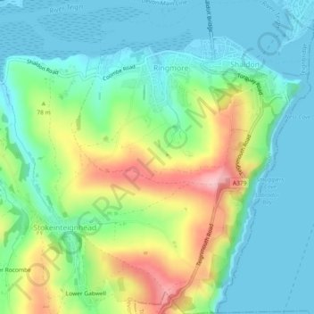
Name: Shaldon topographic map, elevation, terrain.
Location: Shaldon, Ringmore, Teignbridge, Devon, England, United Kingdom (50.51648 -3.53027 50.54557 -3.49527)
Average elevation: 51 m
Minimum elevation: -1 m
Maximum elevation: 166 m