
Linndale topographic map
Interactive map
Click on the map to display elevation.
About this map
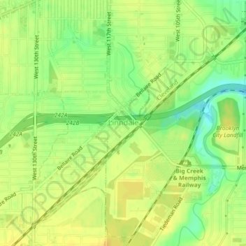
Name: Linndale topographic map, elevation, terrain.
Location: Linndale, Cuyahoga County, Ohio, United States (41.44106 -81.77146 41.44882 -81.76307)
Average elevation: 232 m
Minimum elevation: 216 m
Maximum elevation: 240 m