
Cheyenne topographic map
Interactive map
Click on the map to display elevation.
About this map
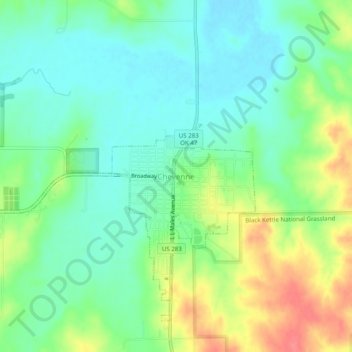
Name: Cheyenne topographic map, elevation, terrain.
Location: Cheyenne, Roger Mills County, Oklahoma, 73628, United States (35.59394 -99.69149 35.63394 -99.65149)
Average elevation: 605 m
Minimum elevation: 581 m
Maximum elevation: 649 m