
Fremont topographic map
Interactive map
Click on the map to display elevation.
About this map
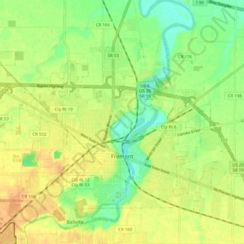
Name: Fremont topographic map, elevation, terrain.
Location: Fremont, Sandusky County, Ohio, 43420, United States (41.33092 -83.16552 41.38408 -83.06899)
Average elevation: 190 m
Minimum elevation: 172 m
Maximum elevation: 204 m