
Brodhead topographic map
Interactive map
Click on the map to display elevation.
About this map
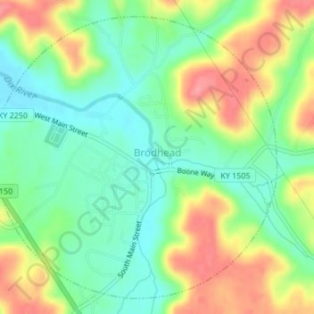
Name: Brodhead topographic map, elevation, terrain.
Location: Brodhead, Rockcastle County, Kentucky, United States (37.39169 -84.43133 37.41592 -84.40088)
Average elevation: 314 m
Minimum elevation: 276 m
Maximum elevation: 369 m