
Kasson topographic map
Interactive map
Click on the map to display elevation.
About this map
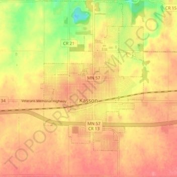
Name: Kasson topographic map, elevation, terrain.
Location: Kasson, Dodge County, Minnesota, 55944, United States (44.01518 -92.76963 44.05122 -92.69829)
Average elevation: 379 m
Minimum elevation: 333 m
Maximum elevation: 402 m