
Hat Mae Ramphueng หาดแม่รำพึง topographic map
Interactive map
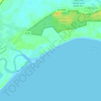
Click on the map to display elevation.
About this map
Name: Hat Mae Ramphueng หาดแม่รำพึง topographic map, elevation, terrain.
Average elevation: 4 m
Minimum elevation: -1 m
Maximum elevation: 26 m
Other topographic maps
Click on a map to view its topography, its elevation and its terrain.
Bang Saphan
Thailand > Prachuap Khiri Khan Province > Bang Saphan
Bang Saphan, Bang Saphan District, Prachuap Khiri Khan Province, 77140, Thailand
Average elevation: 10 m