
Somerset topographic map
Interactive map
Click on the map to display elevation.
About this map
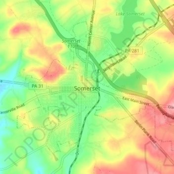
Name: Somerset topographic map, elevation, terrain.
Location: Somerset, Somerset County, Pennsylvania, United States (39.98958 -79.10472 40.02786 -79.03876)
Average elevation: 662 m
Minimum elevation: 608 m
Maximum elevation: 724 m
Somerset has the ninth-highest elevation of towns in Pennsylvania, at 2,190 feet (670 m) above sea level. Somerset County is in Appalachia.