
Sparta topographic map
Interactive map
Click on the map to display elevation.
About this map
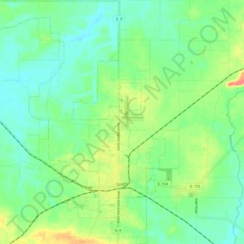
Name: Sparta topographic map, elevation, terrain.
Location: Sparta, Randolph County, Illinois, 62286, United States (38.10085 -89.77741 38.19061 -89.68154)
Average elevation: 150 m
Minimum elevation: 129 m
Maximum elevation: 194 m