
Lewisport topographic map
Interactive map
Click on the map to display elevation.
About this map
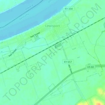
Name: Lewisport topographic map, elevation, terrain.
Location: Lewisport, Hancock County, Kentucky, United States (37.91763 -86.92120 37.94155 -86.88458)
Average elevation: 120 m
Minimum elevation: 111 m
Maximum elevation: 144 m