
Eucha topographic map
Interactive map
Click on the map to display elevation.
About this map
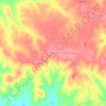
Name: Eucha topographic map, elevation, terrain.
Location: Eucha, Delaware County, Oklahoma, United States (36.37203 -94.90301 36.41203 -94.86301)
Average elevation: 312 m
Minimum elevation: 245 m
Maximum elevation: 344 m