
villa topographic map
Interactive map
Click on the map to display elevation.
About this map
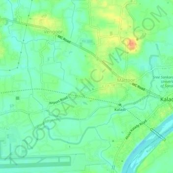
Name: villa topographic map, elevation, terrain.
Location: villa, Aluva, Ernakulam district, Kerala, PIRAROOR, India (10.14951 76.39975 10.18951 76.43975)
Average elevation: 13 m
Minimum elevation: -1 m
Maximum elevation: 35 m