
Moriyana topographic map
Interactive map
Click on the map to display elevation.
About this map
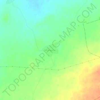
Name: Moriyana topographic map, elevation, terrain.
Location: Moriyana, Riyan Badi Tehsil, Nagaur, Rajasthan, India (26.63674 74.48183 26.67674 74.52183)
Average elevation: 437 m
Minimum elevation: 420 m
Maximum elevation: 458 m