
Thôn Bảy topographic map
Interactive map
Click on the map to display elevation.
About this map
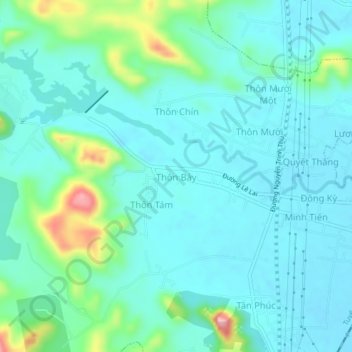
Name: Thôn Bảy topographic map, elevation, terrain.
Location: Thôn Bảy, Nghi Sơn, Thanh Hoa province, Vietnam (19.34897 105.66283 19.38897 105.70283)
Average elevation: 34 m
Minimum elevation: 3 m
Maximum elevation: 165 m