
Ban Phet topographic map
Interactive map
Click on the map to display elevation.
About this map
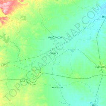
Name: Ban Phet topographic map, elevation, terrain.
Location: Ban Phet, Chaiyaphum Province, Thailand (15.29533 101.52365 15.61533 101.84365)
Average elevation: 237 m
Minimum elevation: 189 m
Maximum elevation: 436 m