
Hede topographic map
Interactive map
Click on the map to display elevation.
About this map
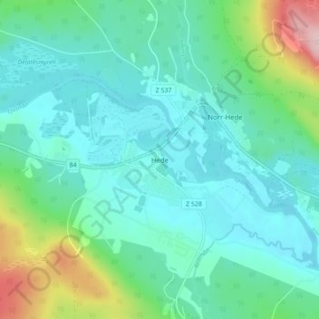
Name: Hede topographic map, elevation, terrain.
Location: Hede, Härjedalens kommun, Jämtland County, Sweden (62.39934 13.49668 62.43934 13.53668)
Average elevation: 446 m
Minimum elevation: 400 m
Maximum elevation: 619 m