
Mörsil topographic map
Interactive map
Click on the map to display elevation.
About this map
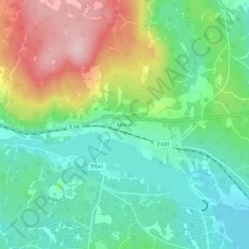
Name: Mörsil topographic map, elevation, terrain.
Location: Mörsil, Åre kommun, Jämtland County, 837 41, Sweden (63.28985 13.63740 63.32985 13.67740)
Average elevation: 369 m
Minimum elevation: 301 m
Maximum elevation: 512 m