
Iklera Sagar topographic map
Interactive map
Click on the map to display elevation.
About this map
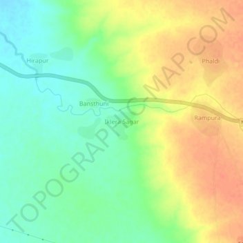
Name: Iklera Sagar topographic map, elevation, terrain.
Location: Iklera Sagar, Kishanganj Tehsil, Baran, Rajasthan, India (25.06743 76.68500 25.10743 76.72500)
Average elevation: 288 m
Minimum elevation: 267 m
Maximum elevation: 309 m