
Rohini topographic map
Interactive map
Click on the map to display elevation.
About this map
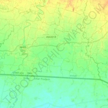
Name: Rohini topographic map, elevation, terrain.
Location: Rohini, Rupandehi, Nepal (27.46902 83.46346 27.53275 83.61484)
Average elevation: 108 m
Minimum elevation: 98 m
Maximum elevation: 120 m
Other topographic maps
Click on a map to view its topography, its elevation and its terrain.