
Arunde topographic map
Interactive map
Click on the map to display elevation.
About this map
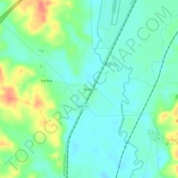
Name: Arunde topographic map, elevation, terrain.
Location: Arunde, Lauderdale County, Mississippi, United States (32.28320 -88.78227 32.32320 -88.74227)
Average elevation: 95 m
Minimum elevation: 76 m
Maximum elevation: 138 m