
Geyser topographic map
Interactive map
Click on the map to display elevation.
About this map
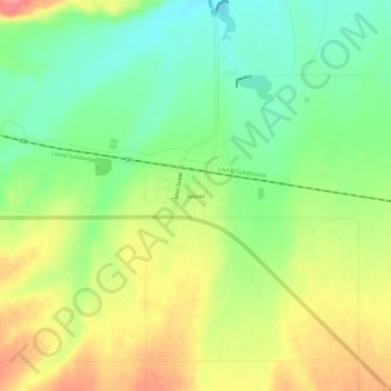
Name: Geyser topographic map, elevation, terrain.
Location: Geyser, Judith Basin County, Montana, United States (47.23913 -110.51327 47.27913 -110.47327)
Average elevation: 1,273 m
Minimum elevation: 1,232 m
Maximum elevation: 1,325 m