
East Windsor topographic map
Interactive map
Click on the map to display elevation.
About this map
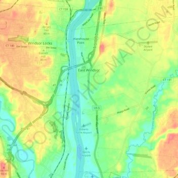
Name: East Windsor topographic map, elevation, terrain.
Location: East Windsor, Hartford County, Connecticut, United States (41.86805 -72.62426 41.94541 -72.51333)
Average elevation: 28 m
Minimum elevation: -1 m
Maximum elevation: 62 m