
Hazard topographic map
Interactive map
Click on the map to display elevation.
About this map
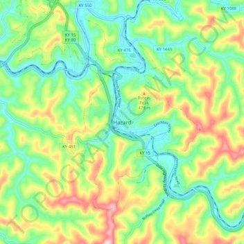
Name: Hazard topographic map, elevation, terrain.
Location: Hazard, Perry County, Kentucky, 41729, United States (37.20896 -83.23339 37.28896 -83.15339)
Average elevation: 369 m
Minimum elevation: 253 m
Maximum elevation: 572 m