
Thimmareddy Guda topographic map
Interactive map
Click on the map to display elevation.
About this map
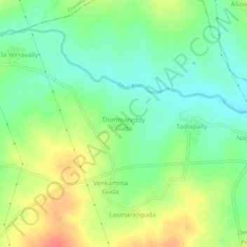
Name: Thimmareddy Guda topographic map, elevation, terrain.
Location: Thimmareddy Guda, Shabad mandal, Rangareddy, Telangana, India (17.21653 78.09228 17.25653 78.13228)
Average elevation: 597 m
Minimum elevation: 575 m
Maximum elevation: 627 m