
Tilaurakot topographic map
Interactive map
Click on the map to display elevation.
About this map
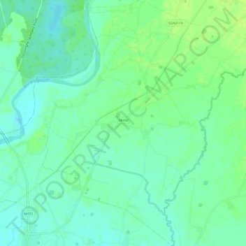
Name: Tilaurakot topographic map, elevation, terrain.
Location: Tilaurakot, Kapilbastu, Kapilvastu, Lumbini Province, Nepal (27.55396 83.05374 27.60627 83.11135)
Average elevation: 107 m
Minimum elevation: 100 m
Maximum elevation: 114 m