
Pleasant Shade topographic map
Interactive map
Click on the map to display elevation.
About this map
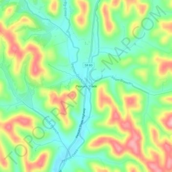
Name: Pleasant Shade topographic map, elevation, terrain.
Average elevation: 216 m
Minimum elevation: 152 m
Maximum elevation: 311 m
Other topographic maps
Click on a map to view its topography, its elevation and its terrain.
Carthage
United States > Tennessee > Smith County > Carthage > Carthage
Carthage, Smith County, Tennessee, 37030, United States
Average elevation: 183 m