
byali topographic map
Interactive map
Click on the map to display elevation.
About this map
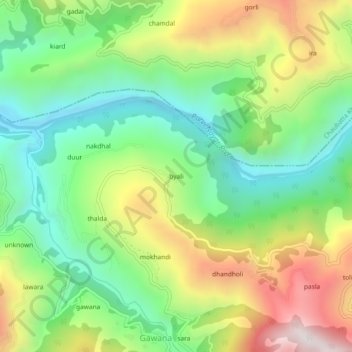
Name: byali topographic map, elevation, terrain.
Location: byali, Satpuli, Pauri Garhwal, Uttarakhand, 246172, India (29.86746 78.74918 29.90746 78.78918)
Average elevation: 1,002 m
Minimum elevation: 603 m
Maximum elevation: 1,630 m