
Harda topographic map
Interactive map
Click on the map to display elevation.
About this map
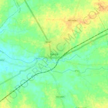
Name: Harda topographic map, elevation, terrain.
Location: Harda, Harda Tahsil, Harda, Madhya Pradesh, 461331, India (22.29888 77.05299 22.37888 77.13299)
Average elevation: 290 m
Minimum elevation: 278 m
Maximum elevation: 305 m
Harda is located at 22°20′N 77°06′E / 22.33°N 77.1°E / 22.33; 77.1. It has an average elevation of 296 metres (971 feet).coor title dm|22|20|N|77|06|E|region:IN_type:city