
Richmond topographic map
Interactive map
Click on the map to display elevation.
About this map
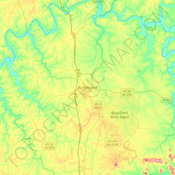
Name: Richmond topographic map, elevation, terrain.
Location: Richmond, Madison County, Kentucky, 40475, United States (37.58786 -84.45465 37.90786 -84.13465)
Average elevation: 267 m
Minimum elevation: 167 m
Maximum elevation: 451 m