
Flen topographic map
Interactive map
Click on the map to display elevation.
About this map
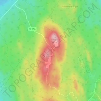
Name: Flen topographic map, elevation, terrain.
Location: Flen, Gagnefs kommun, Dalecarlia, Sweden (60.29915 14.74672 60.33915 14.78672)
Average elevation: 332 m
Minimum elevation: 262 m
Maximum elevation: 439 m