
Norman County topographic map
Interactive map
Click on the map to display elevation.
About this map
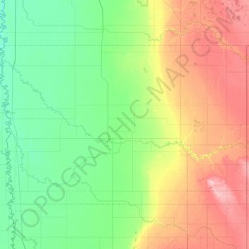
Name: Norman County topographic map, elevation, terrain.
Location: Norman County, Minnesota, United States (47.15122 -96.87177 47.49999 -96.06693)
Average elevation: 303 m
Minimum elevation: 253 m
Maximum elevation: 410 m