
PATAN topographic map
Interactive map
Click on the map to display elevation.
About this map
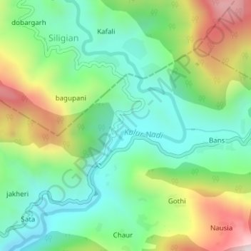
Name: PATAN topographic map, elevation, terrain.
Location: PATAN, Gangolihat, Pithoragarh district, Uttarakhand, India (29.75594 79.98292 29.75970 79.98875)
Average elevation: 1,250 m
Minimum elevation: 1,030 m
Maximum elevation: 1,664 m