
Harrowbarrow topographic map
Interactive map
Click on the map to display elevation.
About this map
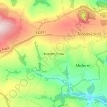
Name: Harrowbarrow topographic map, elevation, terrain.
Location: Harrowbarrow, Cornwall, England, PL17 8BG, United Kingdom (50.48958 -4.28231 50.52958 -4.24231)
Average elevation: 158 m
Minimum elevation: 17 m
Maximum elevation: 329 m