
Farmington topographic map
Interactive map
Click on the map to display elevation.
About this map
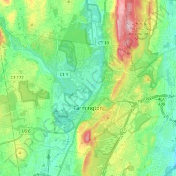
Name: Farmington topographic map, elevation, terrain.
Location: Farmington, Hartford County, Connecticut, United States (41.68783 -72.90847 41.77621 -72.76197)
Average elevation: 90 m
Minimum elevation: 25 m
Maximum elevation: 242 m