
Moreland topographic map
Interactive map
Click on the map to display elevation.
About this map
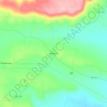
Name: Moreland topographic map, elevation, terrain.
Location: Moreland, Pope County, Arkansas, 72802:72837, United States (35.34758 -93.01850 35.38758 -92.97850)
Average elevation: 236 m
Minimum elevation: 174 m
Maximum elevation: 349 m