
Beverly Shores topographic map
Interactive map
Click on the map to display elevation.
About this map
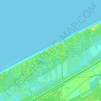
Name: Beverly Shores topographic map, elevation, terrain.
Location: Beverly Shores, Porter County, Indiana, 46301, United States (41.67254 -86.99753 41.71254 -86.95753)
Average elevation: 182 m
Minimum elevation: 175 m
Maximum elevation: 214 m