
Laplata Lake Dam topographic map
Interactive map
Click on the map to display elevation.
About this map
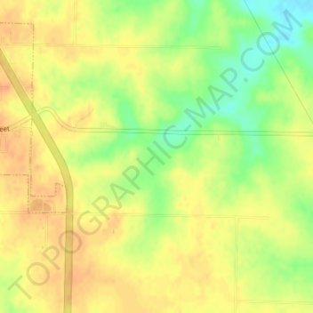
Name: Laplata Lake Dam topographic map, elevation, terrain.
Average elevation: 277 m
Minimum elevation: 253 m
Maximum elevation: 289 m
Other topographic maps
Click on a map to view its topography, its elevation and its terrain.
La Plata
United States > Missouri > Macon County
La Plata, Macon County, Missouri, 63549, United States
Average elevation: 282 m
Elmer
United States > Missouri > Macon County
Elmer, Macon County, Missouri, United States
Average elevation: 229 m