
Songjiang District topographic map
Interactive map
Click on the map to display elevation.
About this map
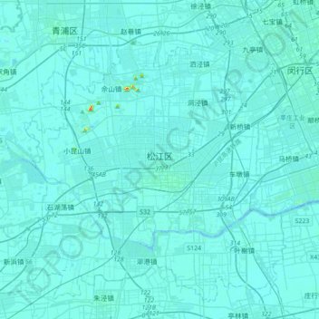
Name: Songjiang District topographic map, elevation, terrain.
Location: Songjiang District, Fangsong, Guangfulin, China (30.89692 121.01949 31.16223 121.36824)
Average elevation: 4 m
Minimum elevation: -2 m
Maximum elevation: 85 m