
Deurne topographic map
Interactive map
Click on the map to display elevation.
About this map
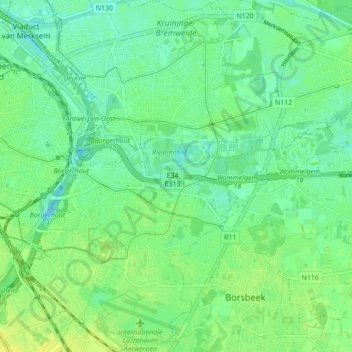
Name: Deurne topographic map, elevation, terrain.
Location: Deurne, Antwerp, Flanders, 2100, Belgium (51.18443 4.44170 51.23863 4.49797)
Average elevation: 8 m
Minimum elevation: -3 m
Maximum elevation: 16 m