
Gadegaon topographic map
Interactive map
Click on the map to display elevation.
About this map
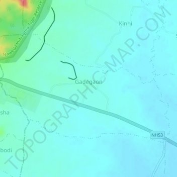
Name: Gadegaon topographic map, elevation, terrain.
Location: Gadegaon, Lakhani Taluka, Bhandara, Maharashtra, India (21.07313 79.77832 21.09325 79.81312)
Average elevation: 265 m
Minimum elevation: 254 m
Maximum elevation: 331 m