
Middlesex topographic map
Interactive map
Click on the map to display elevation.
About this map
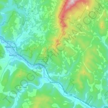
Name: Middlesex topographic map, elevation, terrain.
Location: Middlesex, Washington County, Vermont, United States (44.25862 -72.71674 44.39830 -72.55078)
Average elevation: 330 m
Minimum elevation: 121 m
Maximum elevation: 1,068 m