
Fancy Farm topographic map
Interactive map
Click on the map to display elevation.
About this map
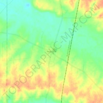
Name: Fancy Farm topographic map, elevation, terrain.
Location: Fancy Farm, Graves County, Kentucky, 42039, United States (36.77950 -88.81144 36.81950 -88.77144)
Average elevation: 134 m
Minimum elevation: 113 m
Maximum elevation: 152 m
Other topographic maps
Click on a map to view its topography, its elevation and its terrain.
Mayfield
United States > Kentucky > Graves County
Mayfield, Graves County, Kentucky, 42066, United States
Average elevation: 145 m