
Taman Sri Jarom Park topographic map
Interactive map
Click on the map to display elevation.
About this map
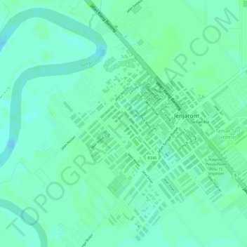
Name: Taman Sri Jarom Park topographic map, elevation, terrain.
Average elevation: 5 m
Minimum elevation: -1 m
Maximum elevation: 8 m
Other topographic maps
Click on a map to view its topography, its elevation and its terrain.
Langat River
Malaysia > Selangor > Klang > Jenjarom
Langat River, Jenjarom, Kuala Langat, Selangor, 42600, Malaysia
Average elevation: 4 m