
Colchester topographic map
Interactive map
Click on the map to display elevation.
About this map
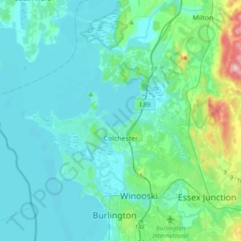
Name: Colchester topographic map, elevation, terrain.
Location: Colchester, Chittenden County, Vermont, United States (44.48647 -73.36204 44.61350 -73.09792)
Average elevation: 71 m
Minimum elevation: 24 m
Maximum elevation: 380 m