
Kodakara topographic map
Interactive map
Click on the map to display elevation.
About this map
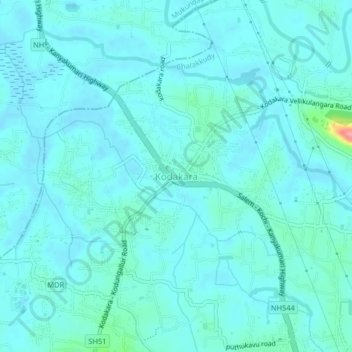
Name: Kodakara topographic map, elevation, terrain.
Location: Kodakara, Chalakkudy, Thrissur district, Kerala, 680684, India (10.35171 76.28420 10.39171 76.32420)
Average elevation: 12 m
Minimum elevation: -1 m
Maximum elevation: 102 m