
Ban Bu Chao Khun topographic map
Interactive map
Click on the map to display elevation.
About this map
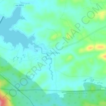
Name: Ban Bu Chao Khun topographic map, elevation, terrain.
Location: Ban Bu Chao Khun, Nakhon Ratchasima Province, Thailand (14.35226 101.70301 14.39226 101.74301)
Average elevation: 461 m
Minimum elevation: 435 m
Maximum elevation: 559 m