
Tasco topographic map
Interactive map
Click on the map to display elevation.
About this map
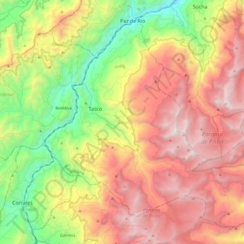
Name: Tasco topographic map, elevation, terrain.
Location: Tasco, Valderrama, Boyacá, 151660, Colombia (5.80903 -72.82582 5.98788 -72.61606)
Average elevation: 3,113 m
Minimum elevation: 2,136 m
Maximum elevation: 4,108 m