
Beas River topographic map
Interactive map
Click on the map to display elevation.
About this map
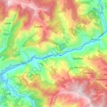
Name: Beas River topographic map, elevation, terrain.
Location: Beas River, Aut, Mandi, Himachal Pradesh, 175106, India (31.67143 77.07475 31.72247 77.21489)
Average elevation: 1,782 m
Minimum elevation: 891 m
Maximum elevation: 2,950 m