
Weir topographic map
Interactive map
Click on the map to display elevation.
About this map
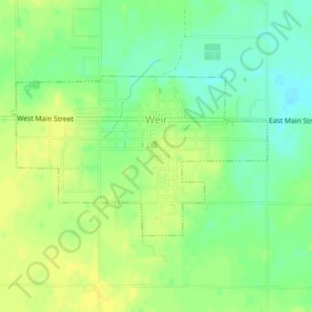
Name: Weir topographic map, elevation, terrain.
Location: Weir, Cherokee County, Kansas, United States (37.30000 -94.78772 37.31382 -94.75983)
Average elevation: 281 m
Minimum elevation: 269 m
Maximum elevation: 289 m
Other topographic maps
Click on a map to view its topography, its elevation and its terrain.
Roseland
United States > Kansas > Cherokee County
Roseland, Cherokee County, Kansas, United States
Average elevation: 278 m
Empire City
United States > Kansas > Cherokee County > Galena > Empire City
Empire City, Galena, Cherokee County, Kansas, 66739, United States
Average elevation: 277 m
Columbus
United States > Kansas > Cherokee County
Columbus, Cherokee County, Kansas, 66725, United States
Average elevation: 275 m