
Jalgaon topographic map
Interactive map
Click on the map to display elevation.
About this map
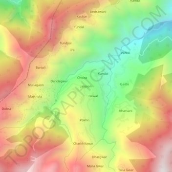
Name: Jalgaon topographic map, elevation, terrain.
Location: Jalgaon, Karnaprayag, Chamoli district, Uttarakhand, India (30.22403 79.09331 30.26403 79.13331)
Average elevation: 1,822 m
Minimum elevation: 1,149 m
Maximum elevation: 2,466 m